Hampshire Avon catchment river levels today
Are the rivers and lakes in the Hampshire Avon catchment unusually low or high?
We follow 24 water level gauges in the Hampshire Avon catchment. 3 gauges read below their normal range for the date and 1 gauge above it.
How many gauges do we follow in the Hampshire Avon catchment?
24 gauges of the 2,378 we follow in the United Kingdom, as of 21 November 2026.
How many waters in the Hampshire Avon catchment have a level gauge?
9 waters with a level gauge, of the 1,152 waters we follow in the United Kingdom, as of 21 November 2026.
How many gauges read below normal for the date?
3 gauges below their normal range, of the 13 gauges with a current reading and a normal range for the date, as of 21 November 2026.
How many gauges read above normal for the date?
1 gauge above its normal range, of the 13 gauges with a current reading and a normal range for the date, as of 21 November 2026.
How the places stand today
3 places below normal and 1 place above
Which places are furthest below normal?
Which places are furthest above normal?
Which gauges do we follow in Hampshire Avon?
| Place | Reading | Against normal for the date | Change in a day |
|---|---|---|---|
| Bickerly Mill Stream | |||
| Ringwood Old Cottage | 0.164 m | in the lowest 10 percent for the date | -0.007 m |
| Chitterne Brook | |||
| Codford | 0.048 m | within the normal range for the date | 0 m |
| Docken's Water | |||
| Moyles Court | 0.173 m | within the normal range for the date | -0.029 m |
| River Avon (Hampshire) | |||
| Amesbury | 0.194 m | -0.001 m | |
| Downton Iron Bridge | 0.044 m | -0.001 m | |
| East Mills Flume | 0.756 m | -0.003 m | |
| Knapp Mill | 0.291 m | -0.016 m | |
| Pewsey | 0.079 m | within the normal range for the date | -0.021 m |
| Salisbury Ashley Road | 0.19 m | within the normal range for the date | -0.004 m |
| Salisbury Harnham Bridge | 0.419 m | +0.004 m | |
| Upavon East | 0.216 m | within the normal range for the date | -0.03 m |
| Upavon West | 0.117 m | within the normal range for the date | +0.002 m |
| River Bourne | |||
| Idmiston | 0.028 m | 0 m | |
| Salisbury Bourne | 0.799 m | within the normal range for the date | -0.013 m |
| Shipton Bellinger | -0.05 m | in the lowest 5 percent for the date | +0.001 m |
| Tidworth Manor Bridge | 0.111 m | in the highest 10 percent for the date | +0.002 m |
| River Ebble | |||
| Ebbesbourne Wake | -0.123 m | -0.001 m | |
| Nunton Bridge | 0.467 m | in the lowest 5 percent for the date | -0.004 m |
| River Nadder | |||
| Tisbury | 0.833 m | -0.045 m | |
| Wilton | 0.143 m | +0.008 m | |
| River Till (Wiltshire) | |||
| Shrewton | -0.076 m | 0 m | |
| River Wylye | |||
| Brixton Deverill | 0.155 m | within the normal range for the date | +0.002 m |
| Heytesbury | 0.63 m | -0.02 m | |
| South Newton | 0.149 m | within the normal range for the date | -0.011 m |
Keep exploring
 Country, United Kingdom Are the rivers and lakes in the United Kingdom unusually low or high? Every river and lake we follow here, against normal for the date.
 Today's list, United Kingdom Which places in the United Kingdom are furthest from normal today? The places in the United Kingdom furthest below and above normal today.
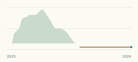 River gauge, United Kingdom Is the River Bourne unusually low at Shipton Bellinger? Level now, history, the same date in past years and each year's range.
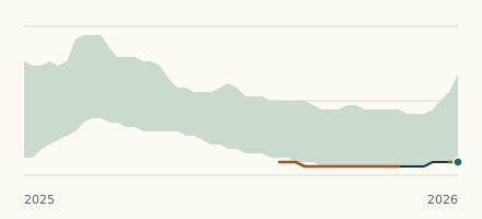 River gauge, United Kingdom Is the River Ebble unusually low at Nunton Bridge? Level now, history, the same date in past years and each year's range.