Emden waterway office river levels today
Are the rivers and lakes in the Emden waterway office unusually low or high?
We follow 16 water level gauges in the Emden waterway office. 1 gauge reads below its normal range for the date and 8 gauges above it.
How many gauges do we follow in the Emden waterway office?
16 gauges of the 1,158 we follow in Germany, as of 21 November 2026.
How many waters in the Emden waterway office have a level gauge?
3 waters with a level gauge, of the 363 waters we follow in Germany, as of 21 November 2026.
How many gauges read below normal for the date?
1 gauge below its normal range, of the 16 gauges with a current reading and a normal range for the date, as of 21 November 2026.
How many gauges read above normal for the date?
8 gauges above their normal range, of the 16 gauges with a current reading and a normal range for the date, as of 21 November 2026.
How the places stand today
1 place below normal and 8 places above
Which places are furthest below normal?
Which places are furthest above normal?
More places
Which gauges do we follow in Emden?
| Place | Reading | Against normal for the date | Change in a day |
|---|---|---|---|
| Ems | |||
| Dukegatkm 65.69 | 534 cm | within the normal range for the date | +44 cm |
| Emden Neue Seeschleusekm 40.45 | 576 cm | in the highest 10 percent for the date | +66 cm |
| Emshörnkm 74.32 | 519 cm | within the normal range for the date | +38 cm |
| Knockkm 50.848 | 568 cm | within the normal range for the date | +53 cm |
| Leerortkm 14.79 | 639 cm | in the highest 5 percent for the date | +65 cm |
| Papenburgkm 0.39 | 666 cm | in the highest 5 percent for the date | +68 cm |
| Pogumkm 35.302 | 599 cm | in the highest 5 percent for the date | +79 cm |
| Terborgkm 24.67 | 621 cm | in the highest 5 percent for the date | +73 cm |
| Weenerkm 6.852 | 654 cm | in the highest 5 percent for the date | +69 cm |
| Leda | |||
| Dreyschlootkm 0.73 | 606 cm | in the highest 5 percent for the date | -4 cm |
| Ledasperrwerk UPkm 21.125 | 642 cm | in the highest 5 percent for the date | +54 cm |
| North Sea | |||
| Borkum Fischerbalje | 493 cm | within the normal range for the date | +29 cm |
| Borkum Südstrand | 474 cm | in the lowest 10 percent for the date | +25 cm |
| Langeoog | 536 cm | within the normal range for the date | +44 cm |
| Norderney Riffgat | 502 cm | within the normal range for the date | +30 cm |
| Spiekeroog | 546 cm | within the normal range for the date | +45 cm |
Keep exploring
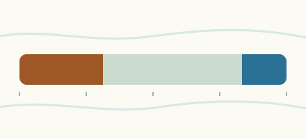 Country, Germany Are the rivers and lakes in Germany unusually low or high? Every river and lake we follow in Germany, against normal for the date.
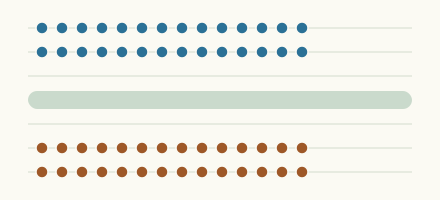 Today's list, Germany Which places in Germany are furthest from normal today? The places in Germany furthest below and above normal today.
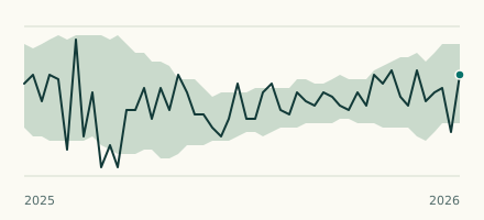 Sea gauge, Germany Is the North Sea unusually low at Borkum Südstrand? Level now, history, the same date in past years and each year's range.
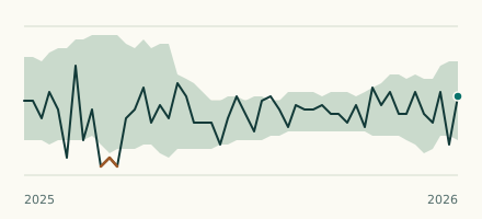 River gauge, Germany Is the Ems unusually high at Papenburg? Level now, history, the same date in past years and each year's range.